
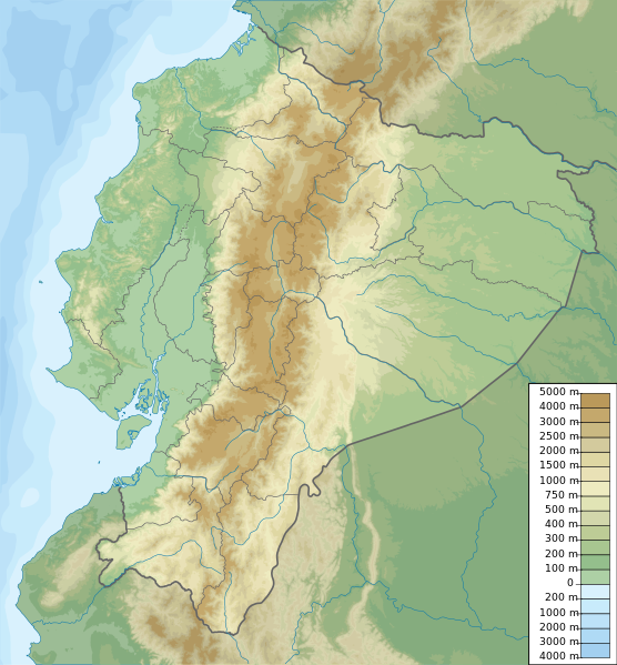
Fichier:Ecuador relief location map.svg

Gréisst vun dëser PNG-Duerstellung vun dësem SVG-Fichier: 556 × 599 Pixel. Aner Opléisungen: 223 × 240 Pixel | 445 × 480 Pixel | 713 × 768 Pixel | 950 × 1.024 Pixel | 1.901 × 2.048 Pixel | 851 × 917 Pixel.
Original-Fichier (SVG-Fichier, Basisgréisst: 851 × 917 Pixel, Gréisst vum Fichier: 3,76 MB)
Resumé
| Beschreiwung | Ecuador physical map, parameters equal to File:Ecuador location map.svg |
| Datum | |
| Quell | Eegent Wierk |
| Auteur | Urutseg |
Lizenz
Ech, de Besëtzer vum Copyright vun dësem Wierk, publizéieren et heimat ënner dëser Lizenz:
| Dëse Fichier gëtt ënner der Creative Commons CC0 1.0 Universal Public Domain Dedication Lizenz zur Verfügung gestallt. | |
| Déi Persoun, déi dëst Wierk mat dësem Dokument verbonn huet, iwwerléist der dëst Wierk Allgemengheet dëst Wierk, andeem si all Copyright-Rechter an all weider domat verbonne Rechter – am Kader vun de jeeweilege gesetzleche Bestëmmungen – opgëtt. D'Wierk kann – souguer fir kommerziell Zwecker – kopéiert, modifizéiert a viruverdeelt ginn, ouni datt dofir eng Autorisatioun gefrot muss ginn.
|
Versiounen
Klickt op e bestëmmten Zäitpunkt fir déi respektiv Versioun vum Fichier ze kucken.
| Versioun vum | Miniaturbild | Dimensiounen | Benotzer | Bemierkung | |
|---|---|---|---|---|---|
| aktuell | 19:49, 15. Okt. 2012 | | 851 × 917 (3,76 MB) | Milenioscuro | corrections of coastal line and boundaries (according to Ecuador location map.svg) |
| 15:16, 26. Aug. 2012 |  | 1.536 × 1.654 (2,49 MB) | Joffrenomuere | son 24 Provincias no 22 | |
| 08:04, 15. Jun. 2012 |  | 851 × 917 (2,13 MB) | TUBS | rv: please follow map conventions, cf your disk | |
| 18:53, 13. Jun. 2012 |  | 851 × 917 (2,35 MB) | Joffrenomuere | 24 provincias | |
| 19:00, 14. Mäe. 2011 |  | 851 × 917 (2,13 MB) | Urutseg |
Benotze vu Fichieren
Et gëtt keng Säiten, déi dëse Fichier benotzen.
Globaalt Benotze vum Fichier
Dës aner Wikie benotzen dëse Fichier:
- Benotzt op ar.wikipedia.org
- Benotzt op ast.wikipedia.org
- Benotzt op azb.wikipedia.org
- Benotzt op az.wikipedia.org
- Benotzt op ban.wikipedia.org
- Benotzt op be.wikipedia.org
- Benotzt op bg.wikipedia.org
- Benotzt op bh.wikipedia.org
- Benotzt op bn.wikipedia.org
- Benotzt op bs.wikipedia.org
Kuckt globale Gebrauch vun dësem Fichier.