
Fichier:México División Política con nombres.png

Gréisst vun dëser Duerstellung: 800 × 536 Pixel. Aner Opléisungen: 320 × 215 Pixel | 640 × 429 Pixel | 1.024 × 686 Pixel | 1.280 × 858 Pixel | 2.178 × 1.460 Pixel.
Original-Fichier (2.178 × 1.460 Pixel, Fichiersgréisst: 528 KB, MIME-Typ: image/png)
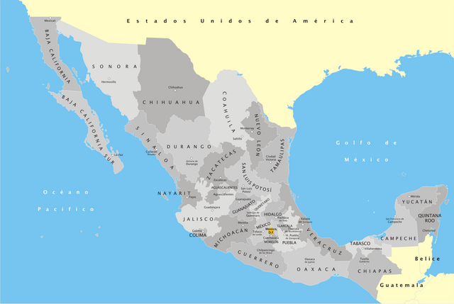
| Beschreiwung | Mapa de México, con división política, nombres y capitales estatales | ||
| Datum | |||
| Quell | Eegent Wierk | ||
| Auteur | Yavidaxiu | ||
| Autorisatioun (Dëse Fichier nach eng Kéier benotzen) |
|
Versiounen
Klickt op e bestëmmten Zäitpunkt fir déi respektiv Versioun vum Fichier ze kucken.
| Versioun vum | Miniaturbild | Dimensiounen | Benotzer | Bemierkung | |
|---|---|---|---|---|---|
| aktuell | 04:36, 12. Mäe. 2007 | | 2.178 × 1.460 (528 KB) | Yavidaxiu | {{Information |Description=Mapa de México, con división política, nombres y capitales estatales |Source=Trabajo propio |Date=13 de marzo de 2007 |Author=Yavidaxiu |Permission={{PD-self}} |other_versions= }} |
Benotze vu Fichieren
Dës Säit benotzt dëse Fichier:
Globaalt Benotze vum Fichier
Dës aner Wikie benotzen dëse Fichier:
- Benotzt op arz.wikipedia.org
- Benotzt op ast.wikipedia.org
- Benotzt op ca.wikipedia.org
- Benotzt op eml.wikipedia.org
- Benotzt op en.wikipedia.org
- Benotzt op hr.wikipedia.org
- Benotzt op hu.wikipedia.org
- Benotzt op ia.wikipedia.org
- Benotzt op incubator.wikimedia.org
- Benotzt op io.wikipedia.org
- Benotzt op it.wikipedia.org
- Benotzt op pl.wikipedia.org
- Benotzt op pl.wikivoyage.org
- Benotzt op www.wikidata.org